3D CITY EXPLORER
Cuenca Heritage Atlas
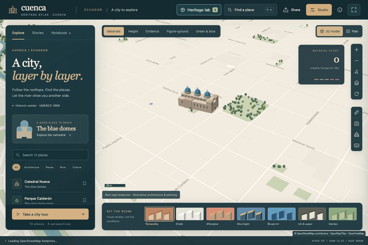
An interactive 3D study of Cuenca’s historic center, built from real building footprints. Change the layers, camera, lighting, and building heights, or bring your own GeoJSON.
Maps & placesOpen the atlas
THE LAB
Interactive maps, outdoor tools, and strategy games. Each one started as a question I wanted to answer properly, and each one opens in your browser. Pick one and give it a try.
3D CITY EXPLORER
An interactive 3D study of Cuenca’s historic center, built from real building footprints. Change the layers, camera, lighting, and building heights, or bring your own GeoJSON.
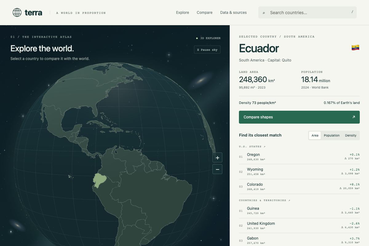
COUNTRIES AT A COMMON SCALE
Pick a country on a 3D globe and see how its land area and population compare with the rest of the world. Outlines are drawn at one shared equal-area scale, so you can set shapes side by side or on top of each other.
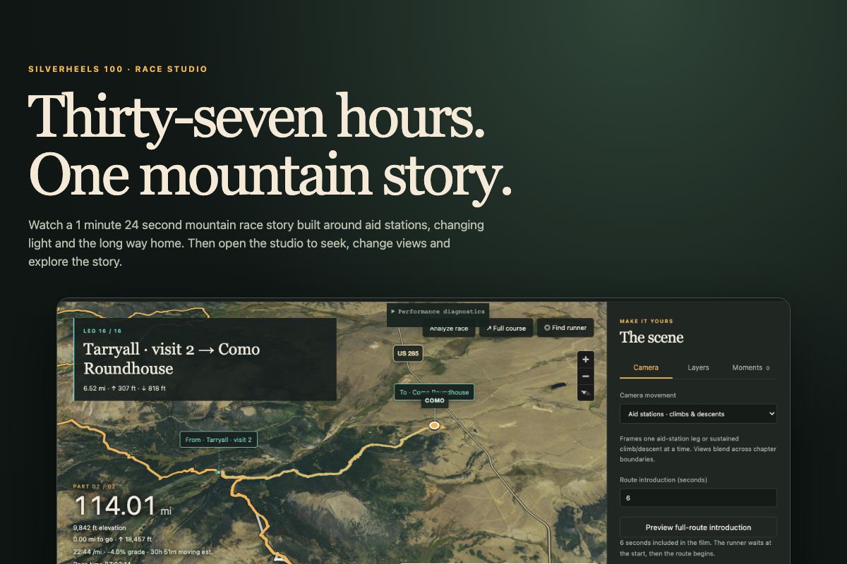
A RACE, RETOLD
A mountain race told as a short film in sixteen aid-station chapters, following one long route as the light changes. Watch the cut, then open the studio to scrub the timeline, switch viewpoints, and adjust cameras and layers.
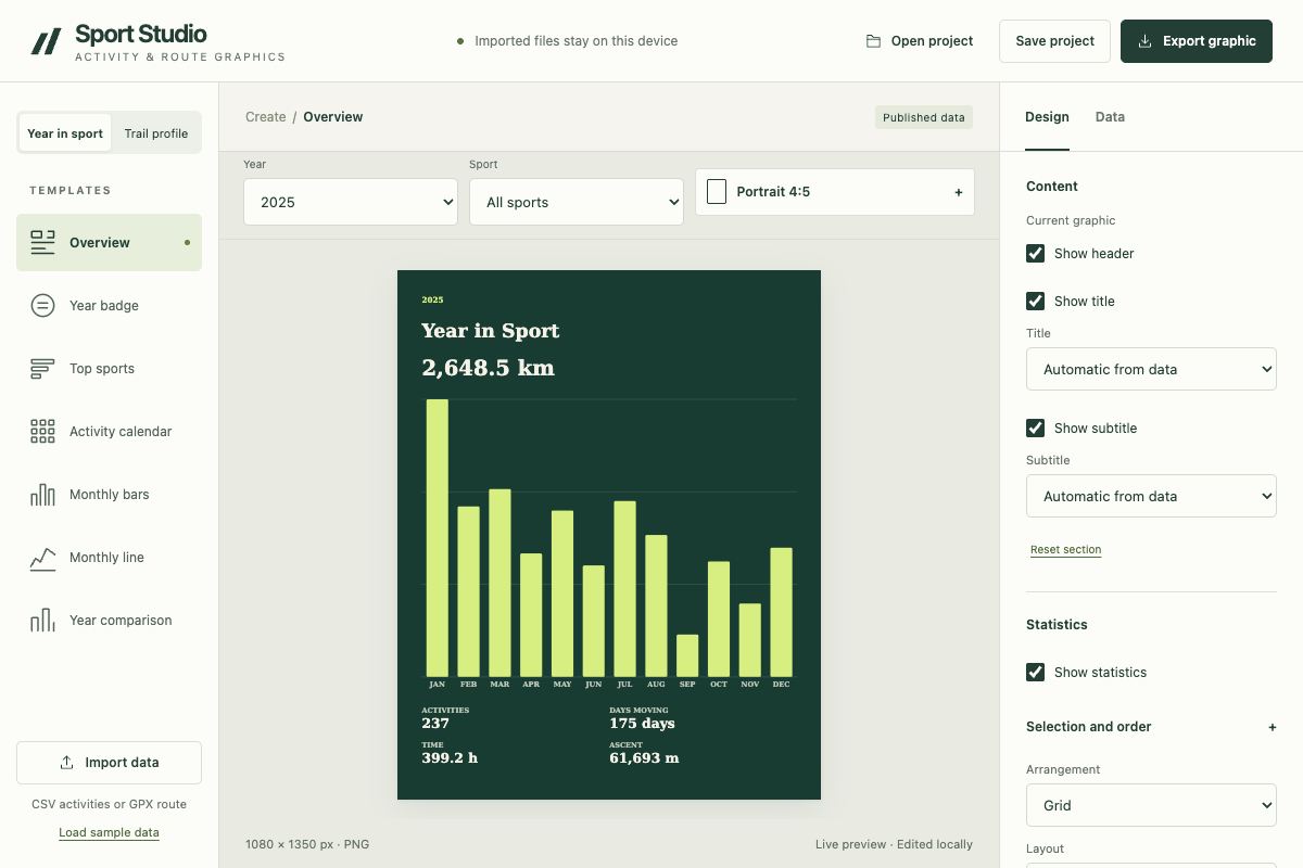
ACTIVITY & ROUTE GRAPHICS
One workspace for a season’s worth of activity graphics and trail elevation profiles. Import activities as CSV or a route as GPX, design the graphic, and export it.
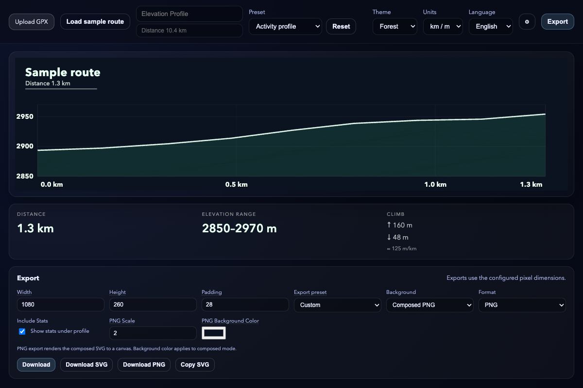
FROM GPX TO GRAPHIC
Upload a GPX file or start from the sample route, style the elevation profile, mark race days and aid stations, and export a clean graphic.
PLAN THE DAYS AHEAD
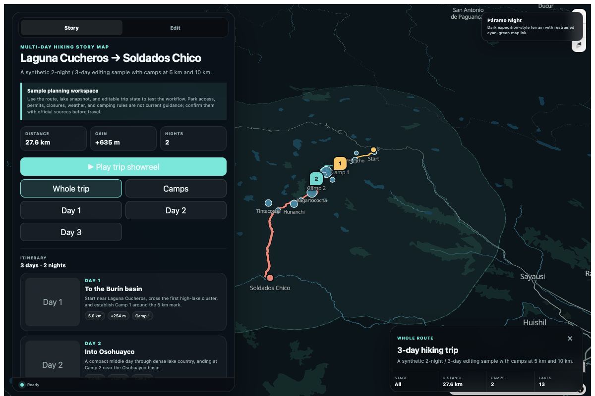
A sample planner for a multi-day trip through El Cajas National Park. Edit the route, place camps, break it into stages, and export the plan.
A RACE OF ROUTES & WALLS
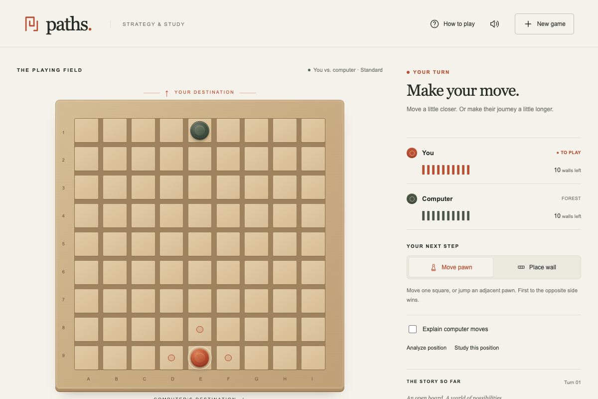
Race your pawn across a 9×9 board, or place walls to lengthen your opponent’s route. Play the computer, which weighs paths and walls deterministically, or a friend on the same device.
BUILD · TRADE · EXPLORE
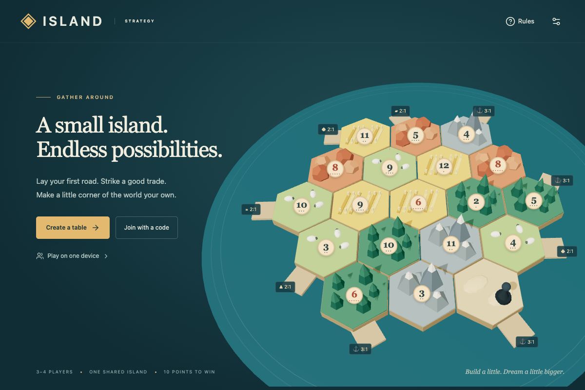
Settle a shared island, trade resources, and build toward ten points. A private multiplayer tabletop game to play locally or with friends.
Try another search or show the whole collection.
ALSO PLAYABLE
Three geography games live on In Cuenca Ecuador, my city guide, alongside its bus map.
THE BIGGER BUILDS
The lab is where I play. The case studies cover the larger systems: a transit data pipeline for Cuenca and a geospatial publishing platform for trail running.