Maps that come with you
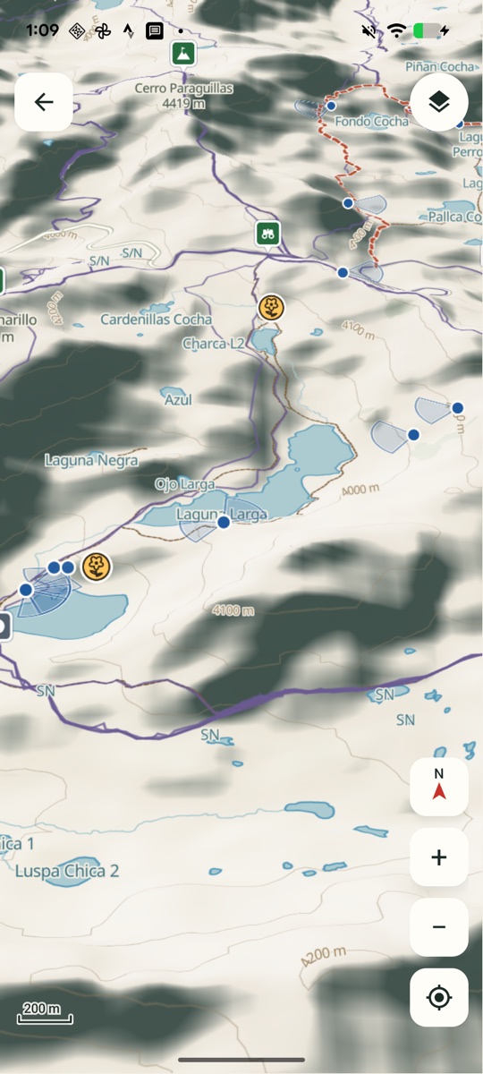
The core topographic map is included in the installation. Browse lakes, peaks, and trails without a connection, then switch between 2D relief and interactive 3D terrain.
ANDROID · OFFLINE HIKING ATLAS
An offline Android hiking atlas for Cuenca and Cajas, with topographic maps, 3D terrain, route profiles, and GPX import.
QUICK GUIDE · 22 SECONDS
Recorded on Android in Spanish, with English instructions. The video has on-screen steps and no audio.
The core topographic map is included in the installation. Browse lakes, peaks, and trails without a connection, then switch between 2D relief and interactive 3D terrain.
Explore route details and approximate elevation profiles. Import GPX tracks, keep their segments and waypoints, and save places and notes on your device.
A native Android interface with MapLibre maps, English and Spanish, optional foreground location, and local storage for your saved information.
A hiking map should still work when the signal disappears. By keeping the core map and route information on the phone, Senderos makes them available on the trail without mobile data or a previous online browsing session.
Route details retain source and access notes. Map coverage and terrain profiles have limits; the app keeps those details visible while you explore.
Built by Travis Pence in Cuenca, Ecuador. For more local guides, visit incuencaecuador.com.
Explore Buses Cuenca for Android →